Site of the Battle of Naseby
Introduction
The photograph on this page of Site of the Battle of Naseby by Philip Halling as part of the Geograph project.
The Geograph project started in 2005 with the aim of publishing, organising and preserving representative images for every square kilometre of Great Britain, Ireland and the Isle of Man.

There are currently over 7.5m images from over 14,400 individuals and you can help contribute to the project by visiting https://www.geograph.org.uk
Site of the Battle of Naseby
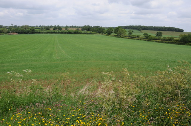
Image: © Philip Halling Taken: 29 Jun 2013
View across the land where on the 14 June 1645 the Battle of Naseby took place. Here it is viewed from the Naseby Monument which was erected in 1936. Long Hold Spinney can be seen on the horizon to the right.
Images are licensed for reuse under creativecommons.org/licenses/by-sa/2.0
Image Location
Latitude
52.414798
Longitude
-0.9943