Footpath to The Gallops
Introduction
The photograph on this page of Footpath to The Gallops by Simon Carey as part of the Geograph project.
The Geograph project started in 2005 with the aim of publishing, organising and preserving representative images for every square kilometre of Great Britain, Ireland and the Isle of Man.

There are currently over 7.5m images from over 14,400 individuals and you can help contribute to the project by visiting https://www.geograph.org.uk
Footpath to The Gallops
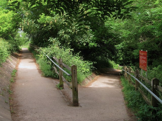
Image: © Simon Carey Taken: 30 Jun 2013
Zigzagging its way down the eastern slope of Salvington Hill from the lane called Bost Hill.
Images are licensed for reuse under creativecommons.org/licenses/by-sa/2.0
Image Location
Latitude
50.849817
Longitude
-0.405258