Green Lane enters Frenchies View, Denmead
Introduction
The photograph on this page of Green Lane enters Frenchies View, Denmead by Peter Facey as part of the Geograph project.
The Geograph project started in 2005 with the aim of publishing, organising and preserving representative images for every square kilometre of Great Britain, Ireland and the Isle of Man.

There are currently over 7.5m images from over 14,400 individuals and you can help contribute to the project by visiting https://www.geograph.org.uk
Green Lane enters Frenchies View, Denmead
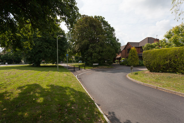
Image: © Peter Facey Taken: 25 Jun 2013
Green Lane, in the foreground, used to continue straight on and join with Southwick Road. As a consequence of The Brambles housing development on the former Frenchies Field, the lane has been stopped up at this southern end and now merely turns into the pre-existing Frenchies View cul de sac. It is still possible to reach Southwick Road via the new St Georges Road.
Images are licensed for reuse under creativecommons.org/licenses/by-sa/2.0
Image Location
Latitude
50.903063
Longitude
-1.071726