Vapery Lane
Introduction
The photograph on this page of Vapery Lane by Alan Hunt as part of the Geograph project.
The Geograph project started in 2005 with the aim of publishing, organising and preserving representative images for every square kilometre of Great Britain, Ireland and the Isle of Man.

There are currently over 7.5m images from over 14,400 individuals and you can help contribute to the project by visiting https://www.geograph.org.uk
Vapery Lane
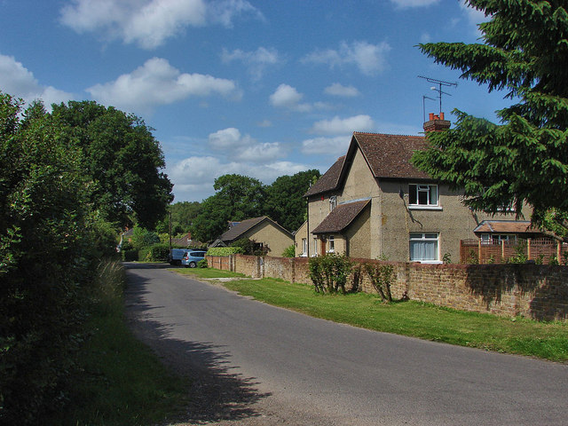
Image: © Alan Hunt Taken: 1 Jul 2013
The short stretch of road between Grange Road and Gole Road. Most of the houses along this road date from the late Victorian/Edwardian era.
Images are licensed for reuse under creativecommons.org/licenses/by-sa/2.0
Image Location
Latitude
51.298454
Longitude
-0.654695