Main Street Ettington
Introduction
The photograph on this page of Main Street Ettington by Nigel Mykura as part of the Geograph project.
The Geograph project started in 2005 with the aim of publishing, organising and preserving representative images for every square kilometre of Great Britain, Ireland and the Isle of Man.

There are currently over 7.5m images from over 14,400 individuals and you can help contribute to the project by visiting https://www.geograph.org.uk
Main Street Ettington
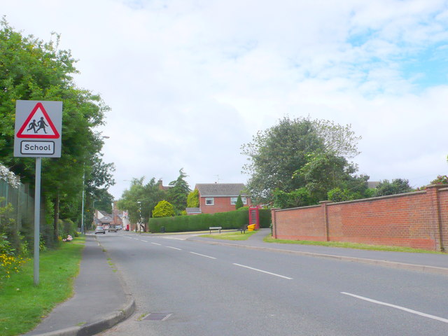
Image: © Nigel Mykura Taken: 23 Jun 2013
This is the A422 Banbury Rd in the middle of the village the school sign refers to the C of E village primary school which is up Churchill Close on the right by the telephone box.
Images are licensed for reuse under creativecommons.org/licenses/by-sa/2.0
Image Location
Latitude
52.137836
Longitude
-1.60794