Sea Road North bridge over the Asker
Introduction
The photograph on this page of Sea Road North bridge over the Asker by John Stephen as part of the Geograph project.
The Geograph project started in 2005 with the aim of publishing, organising and preserving representative images for every square kilometre of Great Britain, Ireland and the Isle of Man.

There are currently over 7.5m images from over 14,400 individuals and you can help contribute to the project by visiting https://www.geograph.org.uk
Sea Road North bridge over the Asker
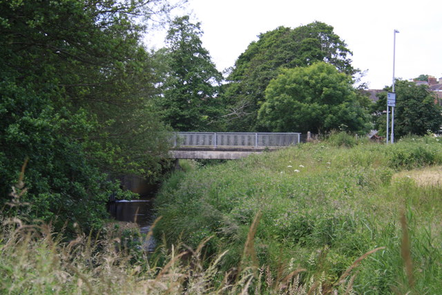
Image: © John Stephen Taken: 28 Jun 2013
View from the footpath from Asker Mill Barn to Jessopp's Weir of the bridge taking the A3066 over the River Asker. The ripples on the water are caused by the inflow of the Asker Millstream. This bridge is just to the NNE of the A35 roundabout on the east side of Bridport.
Images are licensed for reuse under creativecommons.org/licenses/by-sa/2.0
Image Location
Latitude
50.733662
Longitude
-2.749535