Peacehaven, Kington
Introduction
The photograph on this page of Peacehaven, Kington by Jaggery as part of the Geograph project.
The Geograph project started in 2005 with the aim of publishing, organising and preserving representative images for every square kilometre of Great Britain, Ireland and the Isle of Man.

There are currently over 7.5m images from over 14,400 individuals and you can help contribute to the project by visiting https://www.geograph.org.uk
Peacehaven, Kington
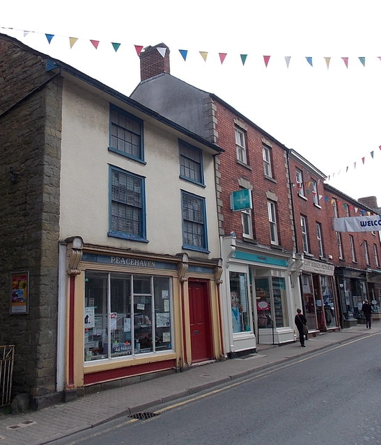
Image: © Jaggery Taken: 26 Jun 2013
Peacehaven on the left is a card and gift shop at 43 High Street.
Images are licensed for reuse under creativecommons.org/licenses/by-sa/2.0
Image Location


Leaflet Map data © OpenStreetMap
Latitude
52.203395
Longitude
-3.030097