Moorview and Moorend by the A3124
Introduction
The photograph on this page of Moorview and Moorend by the A3124 by David Smith as part of the Geograph project.
The Geograph project started in 2005 with the aim of publishing, organising and preserving representative images for every square kilometre of Great Britain, Ireland and the Isle of Man.

There are currently over 7.5m images from over 14,400 individuals and you can help contribute to the project by visiting https://www.geograph.org.uk
Moorview and Moorend by the A3124
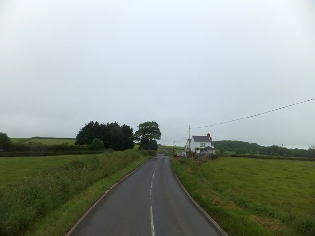
Image: © David Smith Taken: 21 Jun 2013
The names of the farm and cottage are reminders that the area to the south is still called Honeychurch Moor, although much of the land is enclosed
Images are licensed for reuse under creativecommons.org/licenses/by-sa/2.0
Image Location
Latitude
50.822242
Longitude
-3.93658