Woodland Terrace, Cwmtillery
Introduction
The photograph on this page of Woodland Terrace, Cwmtillery by Jaggery as part of the Geograph project.
The Geograph project started in 2005 with the aim of publishing, organising and preserving representative images for every square kilometre of Great Britain, Ireland and the Isle of Man.

There are currently over 7.5m images from over 14,400 individuals and you can help contribute to the project by visiting https://www.geograph.org.uk
Woodland Terrace, Cwmtillery
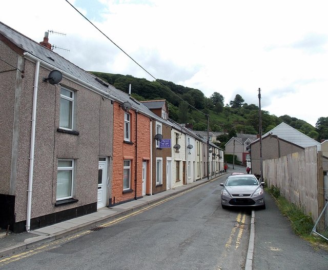
Image: © Jaggery Taken: 24 Jun 2013
Viewed from the edge of fencing http://www.geograph.org.uk/photo/3532141 enclosing the site of the demolished Top Hat club.
Images are licensed for reuse under creativecommons.org/licenses/by-sa/2.0
Image Location
Latitude
51.744457
Longitude
-3.131442