Lady Street, Brydekirk
Introduction
The photograph on this page of Lady Street, Brydekirk by Richard Dorrell as part of the Geograph project.
The Geograph project started in 2005 with the aim of publishing, organising and preserving representative images for every square kilometre of Great Britain, Ireland and the Isle of Man.

There are currently over 7.5m images from over 14,400 individuals and you can help contribute to the project by visiting https://www.geograph.org.uk
Lady Street, Brydekirk
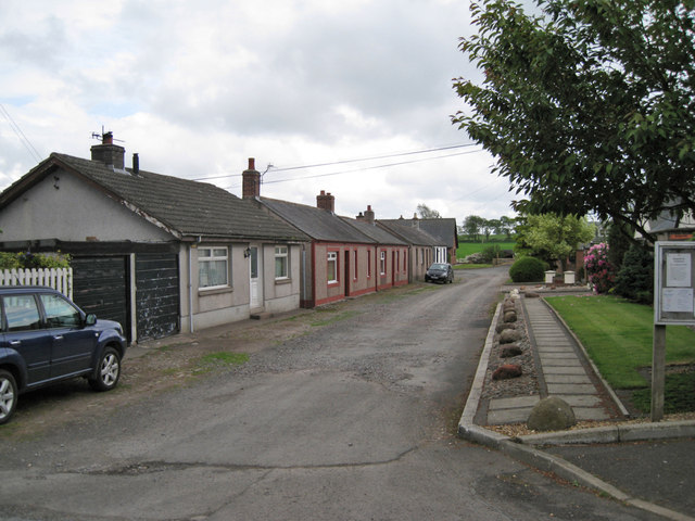
Image: © Richard Dorrell Taken: 14 Jun 2013
Single storey housing facing an un-made road in this small, rural village. On the right, the garden area belongs to the Old Church Hall - see Image
Images are licensed for reuse under creativecommons.org/licenses/by-sa/2.0
Image Location
Latitude
55.021869
Longitude
-3.277854