Stoney Haggs Rise
Introduction
The photograph on this page of Stoney Haggs Rise by Barbara Carr as part of the Geograph project.
The Geograph project started in 2005 with the aim of publishing, organising and preserving representative images for every square kilometre of Great Britain, Ireland and the Isle of Man.

There are currently over 7.5m images from over 14,400 individuals and you can help contribute to the project by visiting https://www.geograph.org.uk
Stoney Haggs Rise
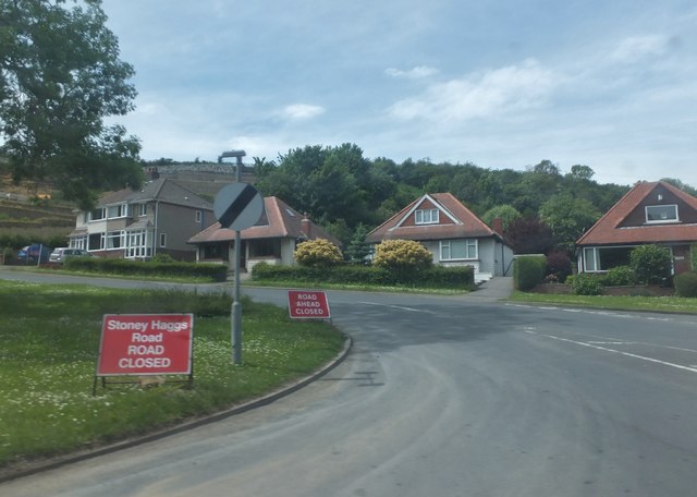
Image: © Barbara Carr Taken: 17 Jun 2013
Near its junction with the A64 north of Crossgates, this road is known as Stoney Haggs Rise; once past the housing it is called Stoney Haggs Road and (when it's open) leads into the north of the village of Seamer.
Images are licensed for reuse under creativecommons.org/licenses/by-sa/2.0
Image Location


Leaflet Map data © OpenStreetMap
Latitude
54.253464
Longitude
-0.420074