The Down Mill in 1964
Introduction
The photograph on this page of The Down Mill in 1964 by john bristow as part of the Geograph project.
The Geograph project started in 2005 with the aim of publishing, organising and preserving representative images for every square kilometre of Great Britain, Ireland and the Isle of Man.

There are currently over 7.5m images from over 14,400 individuals and you can help contribute to the project by visiting https://www.geograph.org.uk
The Down Mill in 1964
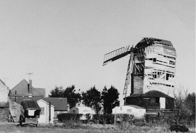
Image: © john bristow Taken: 22 Dec 1964
The mill was looking much the worse for wear by this date. I recollect that it had been complete some ten years earlier.
Images are licensed for reuse under creativecommons.org/licenses/by-sa/2.0
Image Location


Leaflet Map data © OpenStreetMap
Latitude
50.851591
Longitude
0.460455