Urbanisation of Gleann Sheileach
Introduction
The photograph on this page of Urbanisation of Gleann Sheileach by Peter Amsden as part of the Geograph project.
The Geograph project started in 2005 with the aim of publishing, organising and preserving representative images for every square kilometre of Great Britain, Ireland and the Isle of Man.

There are currently over 7.5m images from over 14,400 individuals and you can help contribute to the project by visiting https://www.geograph.org.uk
Urbanisation of Gleann Sheileach
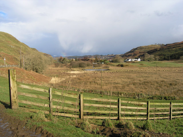
Image: © Peter Amsden Taken: 3 Mar 2007
The white building is the Lagan camp site, but in the far distance can be seen the beginning of new housing development that is scheduled to cover the entire glen in the near future. The expansion of Oban.
Images are licensed for reuse under creativecommons.org/licenses/by-sa/2.0
Image Location
Latitude
56.399622
Longitude
-5.487593