Road to St Peter's Church Goetre and Nantyderry Garden Centre
Introduction
The photograph on this page of Road to St Peter's Church Goetre and Nantyderry Garden Centre by Jaggery as part of the Geograph project.
The Geograph project started in 2005 with the aim of publishing, organising and preserving representative images for every square kilometre of Great Britain, Ireland and the Isle of Man.

There are currently over 7.5m images from over 14,400 individuals and you can help contribute to the project by visiting https://www.geograph.org.uk
Road to St Peter's Church Goetre and Nantyderry Garden Centre
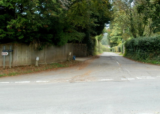
Image: © Jaggery Taken: 22 Sep 2011
Two small signs on the left point towards the church and the garden centre. Out of shot on the camera side, a sign points towards Penperlleni along the same road.
Images are licensed for reuse under creativecommons.org/licenses/by-sa/2.0
Image Location
Latitude
51.750187
Longitude
-2.973541