Bayswater Brook
Introduction
The photograph on this page of Bayswater Brook by David Hawgood as part of the Geograph project.
The Geograph project started in 2005 with the aim of publishing, organising and preserving representative images for every square kilometre of Great Britain, Ireland and the Isle of Man.

There are currently over 7.5m images from over 14,400 individuals and you can help contribute to the project by visiting https://www.geograph.org.uk
Bayswater Brook
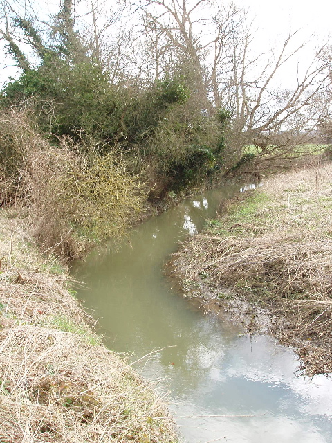
Image: © David Hawgood Taken: 1 Mar 2007
View by road to Woodeaton. Looking at the map, the brook has a rather circuitous route, from Shotover, past Sandhills and Barton, by Old Marston , back north to this site and a kilometre on joins the Cherwell.
Images are licensed for reuse under creativecommons.org/licenses/by-sa/2.0
Image Location
Latitude
51.787692
Longitude
-1.234038