Almeley Road, Eardisley
Introduction
The photograph on this page of Almeley Road, Eardisley by Jaggery as part of the Geograph project.
The Geograph project started in 2005 with the aim of publishing, organising and preserving representative images for every square kilometre of Great Britain, Ireland and the Isle of Man.

There are currently over 7.5m images from over 14,400 individuals and you can help contribute to the project by visiting https://www.geograph.org.uk
Almeley Road, Eardisley
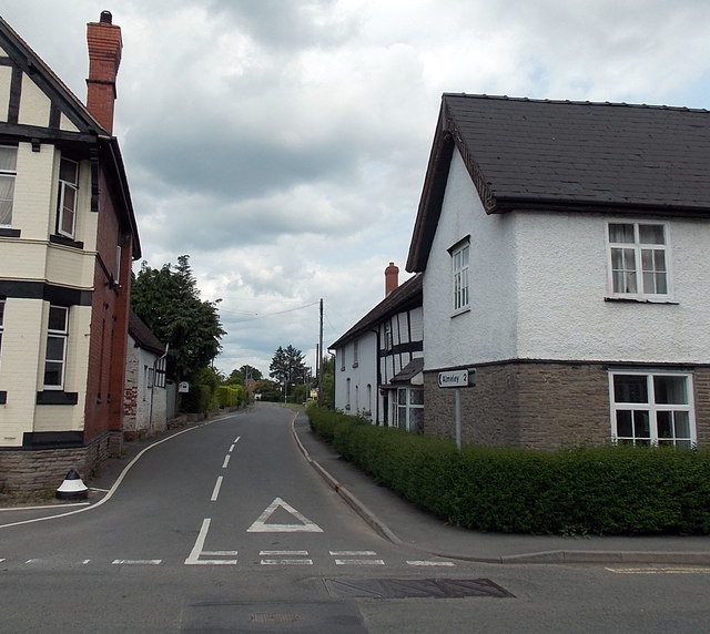
Image: © Jaggery Taken: 26 Jun 2013
Viewed across the A4111 Church Road. The New Strand http://www.geograph.org.uk/photo/3529292 is on the left. The sign on the right shows 2 miles to Almeley.
Images are licensed for reuse under creativecommons.org/licenses/by-sa/2.0
Image Location
Latitude
52.140656
Longitude
-3.007314