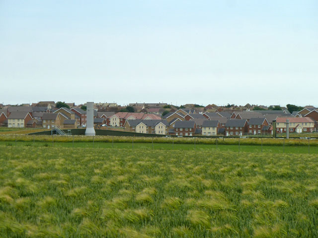
New developments, Peacehaven
Introduction
The photograph on this page of New developments, Peacehaven by Robin Webster as part of the Geograph project.
The Geograph project started in 2005 with the aim of publishing, organising and preserving representative images for every square kilometre of Great Britain, Ireland and the Isle of Man.
There are currently over 7.5m images from over 14,400 individuals and you can help contribute to the project by visiting https://www.geograph.org.uk

Image: © Robin Webster Taken: 26 Jun 2013
Looking south across the new sewage works, almost invisible apart from its short stack as it is sunk below ground level and partly underground. Beyond is new housing development extending Peacehaven northwards. The near field is growing what seems to be an odd mixture of barley and wheat, surely not intentional unless it is intended to be a wildlife amenity.

