View south from the path to Bogma Hall Farm
Introduction
The photograph on this page of View south from the path to Bogma Hall Farm by Robert Graham as part of the Geograph project.
The Geograph project started in 2005 with the aim of publishing, organising and preserving representative images for every square kilometre of Great Britain, Ireland and the Isle of Man.

There are currently over 7.5m images from over 14,400 individuals and you can help contribute to the project by visiting https://www.geograph.org.uk
View south from the path to Bogma Hall Farm
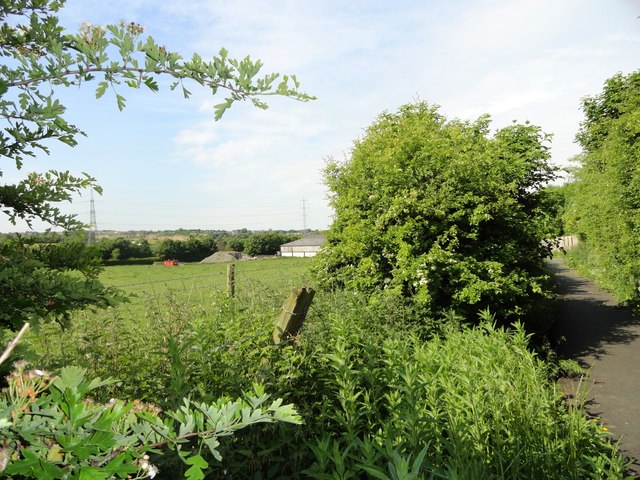
Image: © Robert Graham Taken: 19 Jun 2013
This lane is at the south end of Coxhoe village. The farm outbuildings can be seen on the right.
Images are licensed for reuse under creativecommons.org/licenses/by-sa/2.0
Image Location
Latitude
54.710086
Longitude
-1.505948