Goytre bus shelter
Introduction
The photograph on this page of Goytre bus shelter by Jaggery as part of the Geograph project.
The Geograph project started in 2005 with the aim of publishing, organising and preserving representative images for every square kilometre of Great Britain, Ireland and the Isle of Man.

There are currently over 7.5m images from over 14,400 individuals and you can help contribute to the project by visiting https://www.geograph.org.uk
Goytre bus shelter
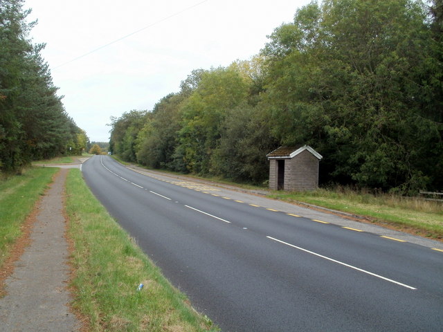
Image: © Jaggery Taken: 22 Sep 2011
Located alongside the A4042 on the Abergavenny to Pontypool route.
Images are licensed for reuse under creativecommons.org/licenses/by-sa/2.0
Image Location
Latitude
51.747471
Longitude
-2.986519