Amman valley mineral line
Introduction
The photograph on this page of Amman valley mineral line by Nigel Davies as part of the Geograph project.
The Geograph project started in 2005 with the aim of publishing, organising and preserving representative images for every square kilometre of Great Britain, Ireland and the Isle of Man.

There are currently over 7.5m images from over 14,400 individuals and you can help contribute to the project by visiting https://www.geograph.org.uk
Amman valley mineral line
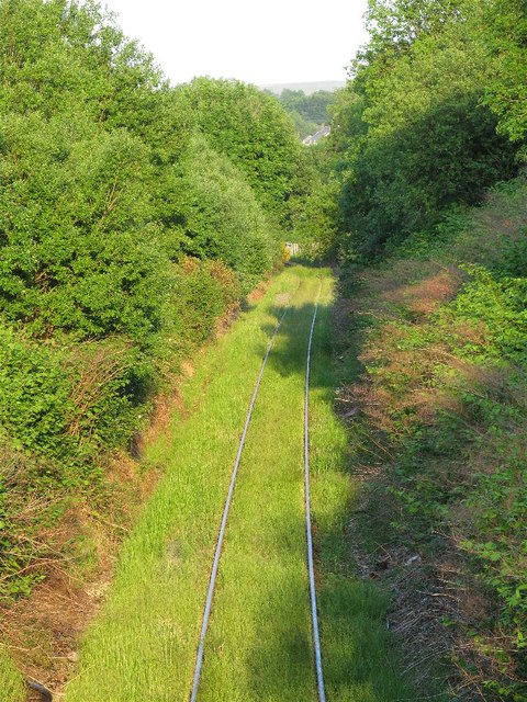
Image: © Nigel Davies Taken: 8 Jun 2013
This is the view up the valley from the footbridge that crosses over the railway on the path out of Parc Golwg yr Aman. The line is in only occasional use for transporting coal from Celtic Energy's open cast at East Pit. Image
Images are licensed for reuse under creativecommons.org/licenses/by-sa/2.0
Image Location
Latitude
51.803784
Longitude
-3.910922