Yarty flood plain
Introduction
The photograph on this page of Yarty flood plain by Derek Harper as part of the Geograph project.
The Geograph project started in 2005 with the aim of publishing, organising and preserving representative images for every square kilometre of Great Britain, Ireland and the Isle of Man.

There are currently over 7.5m images from over 14,400 individuals and you can help contribute to the project by visiting https://www.geograph.org.uk
Yarty flood plain
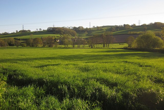
Image: © Derek Harper Taken: 16 May 2013
The view on the other side of the lane from Image Trees mark the course of the River Yarty, which can theoretically be glimpsed in the centre. In the background, left of centre, are Bray's Farm and Bray's Coppice on the hillside.
Images are licensed for reuse under creativecommons.org/licenses/by-sa/2.0
Image Location
Latitude
50.805687
Longitude
-3.043041