Field between canal and church, Goytre
Introduction
The photograph on this page of Field between canal and church, Goytre by Jaggery as part of the Geograph project.
The Geograph project started in 2005 with the aim of publishing, organising and preserving representative images for every square kilometre of Great Britain, Ireland and the Isle of Man.

There are currently over 7.5m images from over 14,400 individuals and you can help contribute to the project by visiting https://www.geograph.org.uk
Field between canal and church, Goytre
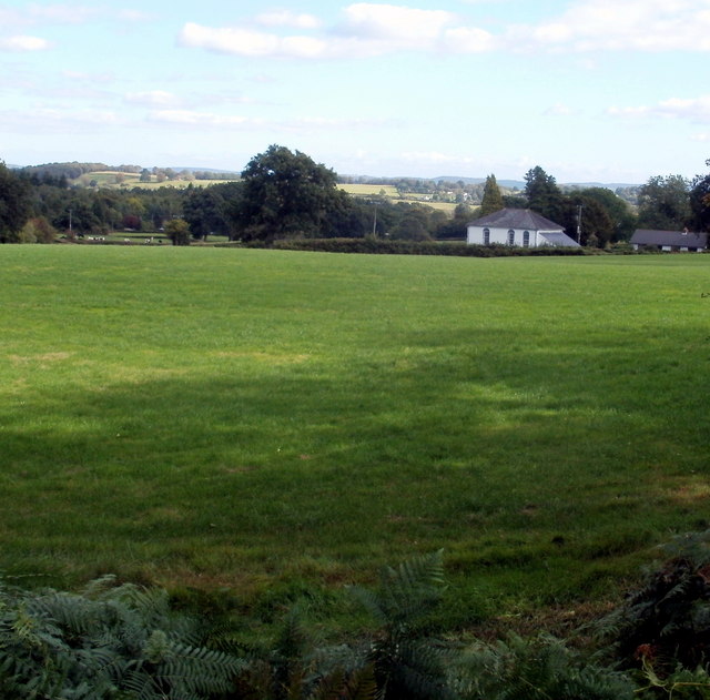
Image: © Jaggery Taken: 14 Sep 2011
Viewed from the path alongside the Monmouthshire & Brecon Canal south of Goytre Wharf looking towards Saron Baptist Church. http://www.geograph.org.uk/photo/3522363
Images are licensed for reuse under creativecommons.org/licenses/by-sa/2.0
Image Location
Latitude
51.748675
Longitude
-2.993064