A37 Dorchester Bypass and Roman Aqueduct
Introduction
The photograph on this page of A37 Dorchester Bypass and Roman Aqueduct by Ian Andrews as part of the Geograph project.
The Geograph project started in 2005 with the aim of publishing, organising and preserving representative images for every square kilometre of Great Britain, Ireland and the Isle of Man.

There are currently over 7.5m images from over 14,400 individuals and you can help contribute to the project by visiting https://www.geograph.org.uk
A37 Dorchester Bypass and Roman Aqueduct
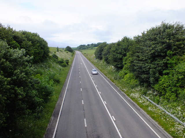
Image: © Ian Andrews Taken: 21 Jun 2013
This picture was taken from the Poundbury Road bridge over the A37. You are looking South West up (excuse me) Fordington Bottom. You can see the course of the Roman aqueduct as it goes along the hedge-line half way up the grassy bank on the right of the road. it would have crossed the valley floor at a point a little beyond the bend in the road and run back down Fordington Bottom on the left of the road about half way up the bank on the right, maintaining a height above sea level of around 265ft all the way around.
Images are licensed for reuse under creativecommons.org/licenses/by-sa/2.0
Image Location
Latitude
50.719395
Longitude
-2.468119