Lane to Holy City
Introduction
The photograph on this page of Lane to Holy City by Derek Harper as part of the Geograph project.
The Geograph project started in 2005 with the aim of publishing, organising and preserving representative images for every square kilometre of Great Britain, Ireland and the Isle of Man.

There are currently over 7.5m images from over 14,400 individuals and you can help contribute to the project by visiting https://www.geograph.org.uk
Lane to Holy City
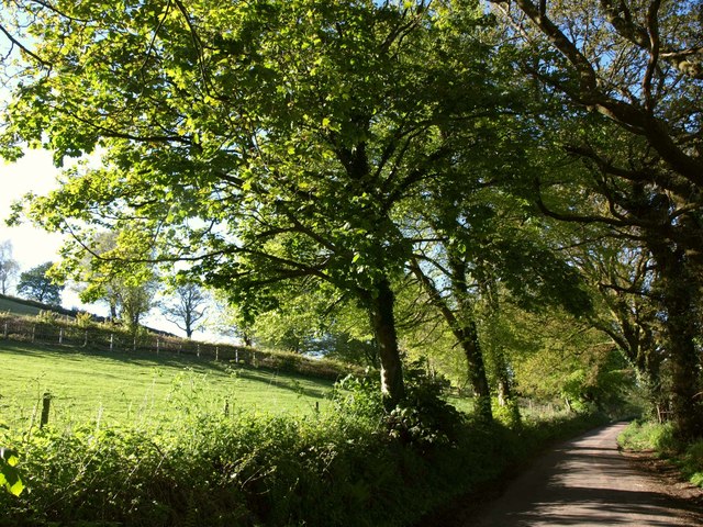
Image: © Derek Harper Taken: 16 May 2013
Over 500 metres further north along the lane from Image, but a similar scene, with the hillside still on the left. Above the field is the track to Ransomes Farm.
Images are licensed for reuse under creativecommons.org/licenses/by-sa/2.0
Image Location
Latitude
50.837192
Longitude
-2.99844