Main Road
Introduction
The photograph on this page of Main Road by Thomas Nugent as part of the Geograph project.
The Geograph project started in 2005 with the aim of publishing, organising and preserving representative images for every square kilometre of Great Britain, Ireland and the Isle of Man.

There are currently over 7.5m images from over 14,400 individuals and you can help contribute to the project by visiting https://www.geograph.org.uk
Main Road
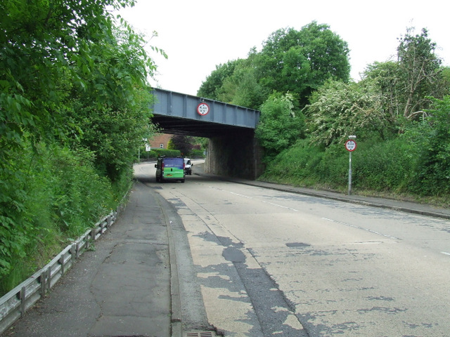
Image: © Thomas Nugent Taken: 14 Jun 2013
Leading from paisley to Elderslie. The bridge carried the former Paisley Canal line and is now a cycle path (Route 7 of the National Cycle Network).
Images are licensed for reuse under creativecommons.org/licenses/by-sa/2.0
Image Location
Latitude
55.83902
Longitude
-4.468136