Apartments, Custom House Square, Belfast (2013)
Introduction
The photograph on this page of Apartments, Custom House Square, Belfast (2013) by Albert Bridge as part of the Geograph project.
The Geograph project started in 2005 with the aim of publishing, organising and preserving representative images for every square kilometre of Great Britain, Ireland and the Isle of Man.

There are currently over 7.5m images from over 14,400 individuals and you can help contribute to the project by visiting https://www.geograph.org.uk
Apartments, Custom House Square, Belfast (2013)
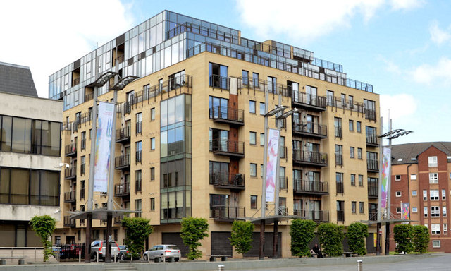
Image: © Albert Bridge Taken: 19 Jun 2013
See Image (September 2008) and Image (December 2010). The apartments, between Ulster Street Image and Waring Street Image, at Custom House Square, as completed and without the dappling.
Images are licensed for reuse under creativecommons.org/licenses/by-sa/2.0
Image Location
Latitude
54.60162
Longitude
-5.923974