A PSNI Tangi on the A26 between Nuts Corner and the Airport Road turnoff
Introduction
The photograph on this page of A PSNI Tangi on the A26 between Nuts Corner and the Airport Road turnoff by Eric Jones as part of the Geograph project.
The Geograph project started in 2005 with the aim of publishing, organising and preserving representative images for every square kilometre of Great Britain, Ireland and the Isle of Man.

There are currently over 7.5m images from over 14,400 individuals and you can help contribute to the project by visiting https://www.geograph.org.uk
A PSNI Tangi on the A26 between Nuts Corner and the Airport Road turnoff
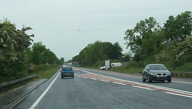
Image: © Eric Jones Taken: 16 Jun 2013
This was one of scores of Tangis stationed along the approach to Belfast International Airport during the G8 summit at Lough Erne.
Images are licensed for reuse under creativecommons.org/licenses/by-sa/2.0
Image Location
Latitude
54.637102
Longitude
-6.150635