Former Baptist meeting house, Newtownards
Introduction
The photograph on this page of Former Baptist meeting house, Newtownards by Albert Bridge as part of the Geograph project.
The Geograph project started in 2005 with the aim of publishing, organising and preserving representative images for every square kilometre of Great Britain, Ireland and the Isle of Man.

There are currently over 7.5m images from over 14,400 individuals and you can help contribute to the project by visiting https://www.geograph.org.uk
Former Baptist meeting house, Newtownards
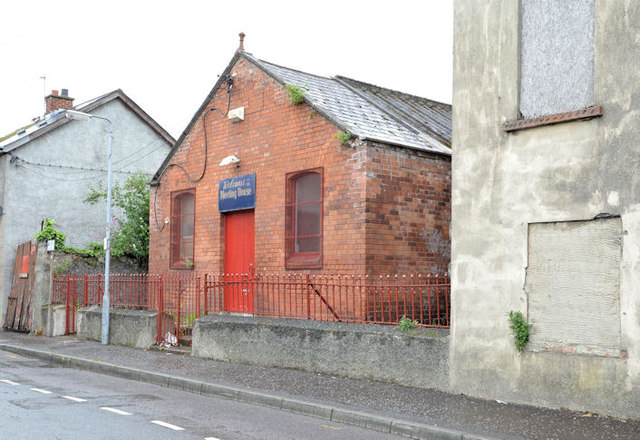
Image: © Albert Bridge Taken: 17 Jun 2013
A redbrick building at the High Street end of Greenwell Street Image which might have opened in 1924. Previously seen in Image (July 2009). The general area seems to be in line for redevelopment but trying to search the Planning Service website can be a frustrating experience unless in possession of a reference number.
Images are licensed for reuse under creativecommons.org/licenses/by-sa/2.0
Image Location
Latitude
54.592209
Longitude
-5.692201