Basingstoke Canal west of Sheerwater Bridge
Introduction
The photograph on this page of Basingstoke Canal west of Sheerwater Bridge by Derek Harper as part of the Geograph project.
The Geograph project started in 2005 with the aim of publishing, organising and preserving representative images for every square kilometre of Great Britain, Ireland and the Isle of Man.

There are currently over 7.5m images from over 14,400 individuals and you can help contribute to the project by visiting https://www.geograph.org.uk
Basingstoke Canal west of Sheerwater Bridge
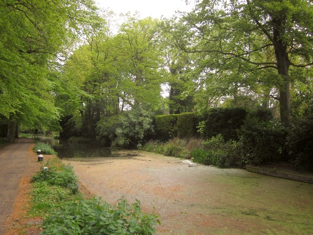
Image: © Derek Harper Taken: 10 May 2013
Placing Image in more context, just upstream of Woodham Top Lock No 6, or Sheerwater Lock.
Images are licensed for reuse under creativecommons.org/licenses/by-sa/2.0
Image Location
Latitude
51.33827
Longitude
-0.518868