Royal Pavilion, Aldershot: aerial 2013
Introduction
The photograph on this page of Royal Pavilion, Aldershot: aerial 2013 by Chris as part of the Geograph project.
The Geograph project started in 2005 with the aim of publishing, organising and preserving representative images for every square kilometre of Great Britain, Ireland and the Isle of Man.

There are currently over 7.5m images from over 14,400 individuals and you can help contribute to the project by visiting https://www.geograph.org.uk
Royal Pavilion, Aldershot: aerial 2013
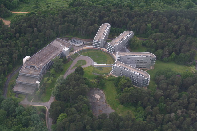
Image: © Chris Taken: 16 Jun 2013
The site of Queen Victoria's pavilion, used when she was visiting the army. Now the European HQ of Computer Sciences Corporation.
Images are licensed for reuse under creativecommons.org/licenses/by-sa/2.0
Image Location


Leaflet Map data © OpenStreetMap
Latitude
51.250417
Longitude
-0.784627