(Former) Town Hall, St. Hilda's
Introduction
The photograph on this page of (Former) Town Hall, St. Hilda's by Mike Quinn as part of the Geograph project.
The Geograph project started in 2005 with the aim of publishing, organising and preserving representative images for every square kilometre of Great Britain, Ireland and the Isle of Man.

There are currently over 7.5m images from over 14,400 individuals and you can help contribute to the project by visiting https://www.geograph.org.uk
(Former) Town Hall, St. Hilda's
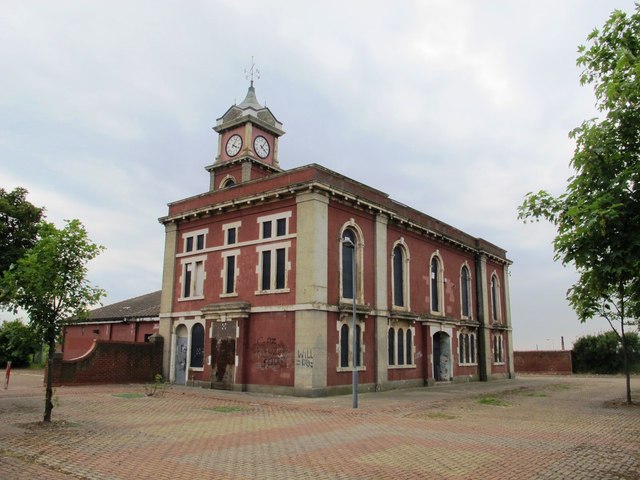
Image: © Mike Quinn Taken: 17 Jun 2013
For info about this building, see Image (photographed by Mick Garratt in 2007). Although much of the 1970s housing has been demolished, there's still not much sign of any redevelopment.
Images are licensed for reuse under creativecommons.org/licenses/by-sa/2.0
Image Location


Leaflet Map data © OpenStreetMap
Latitude
54.582412
Longitude
-1.234717