Old Newark Road, Mansfield, Notts.
Introduction
The photograph on this page of Old Newark Road, Mansfield, Notts. by David Hallam-Jones as part of the Geograph project.
The Geograph project started in 2005 with the aim of publishing, organising and preserving representative images for every square kilometre of Great Britain, Ireland and the Isle of Man.

There are currently over 7.5m images from over 14,400 individuals and you can help contribute to the project by visiting https://www.geograph.org.uk
Old Newark Road, Mansfield, Notts.
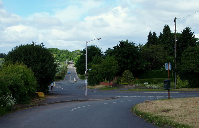
Image: © David Hallam-Jones Taken: 16 Jun 2013
The start (or conclusion) of Old Newark Road at its junction with Lichfield Lane. Behind the pedestrian is the A60 (Turn left for Ravenshead and Nottingham or left for Mansfield). The car ascending the hill in the distance is on Cauldwell Road, a road that soon connects with the A611. Behind the photographer Old Newark Road connects this southern suburb of Mansfield with the A6191 (the Mansfield - Rainworth road). The West Nottinghamshire College is situated to the right of the traffic bollards that are on the right of the picture.
Images are licensed for reuse under creativecommons.org/licenses/by-sa/2.0
Image Location
Latitude
53.120543
Longitude
-1.187852