Field and walls above the Lowther valley
Introduction
The photograph on this page of Field and walls above the Lowther valley by Bill Boaden as part of the Geograph project.
The Geograph project started in 2005 with the aim of publishing, organising and preserving representative images for every square kilometre of Great Britain, Ireland and the Isle of Man.

There are currently over 7.5m images from over 14,400 individuals and you can help contribute to the project by visiting https://www.geograph.org.uk
Field and walls above the Lowther valley
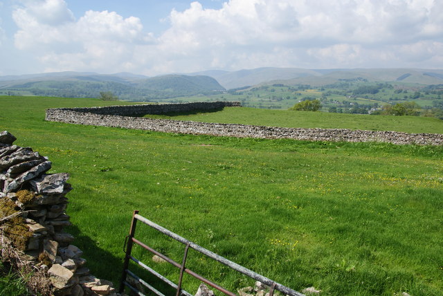
Image: © Bill Boaden Taken: 7 Jun 2013
This hillside gives good views of the Eastern Fells around Haweswater.
Images are licensed for reuse under creativecommons.org/licenses/by-sa/2.0
Image Location
Latitude
54.555184
Longitude
-2.720331