Napton Windmill
Introduction
The photograph on this page of Napton Windmill by Ian Rob as part of the Geograph project.
The Geograph project started in 2005 with the aim of publishing, organising and preserving representative images for every square kilometre of Great Britain, Ireland and the Isle of Man.

There are currently over 7.5m images from over 14,400 individuals and you can help contribute to the project by visiting https://www.geograph.org.uk
Napton Windmill
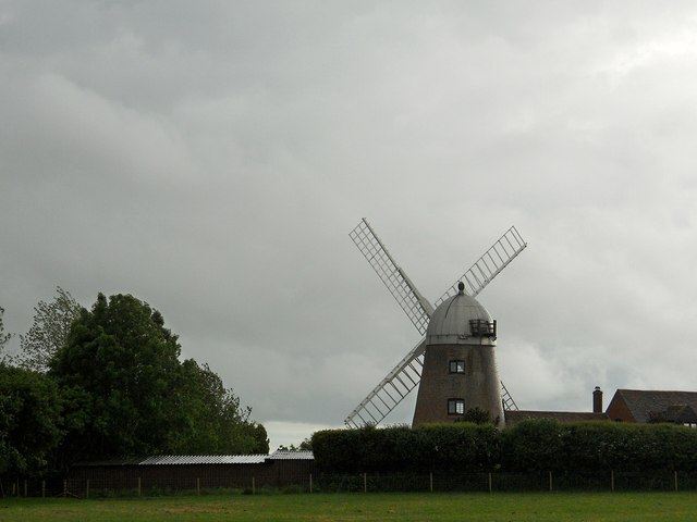
Image: © Ian Rob Taken: 13 Jun 2013
A close up view of this private residence, Best approached on foot as the road is designed to make you reverse for about 1/4 of a mile.
Images are licensed for reuse under creativecommons.org/licenses/by-sa/2.0
Image Location
Latitude
52.247712
Longitude
-1.33058