St Botolphs Road, Sevenoaks
Introduction
The photograph on this page of St Botolphs Road, Sevenoaks by Marathon as part of the Geograph project.
The Geograph project started in 2005 with the aim of publishing, organising and preserving representative images for every square kilometre of Great Britain, Ireland and the Isle of Man.

There are currently over 7.5m images from over 14,400 individuals and you can help contribute to the project by visiting https://www.geograph.org.uk
St Botolphs Road, Sevenoaks
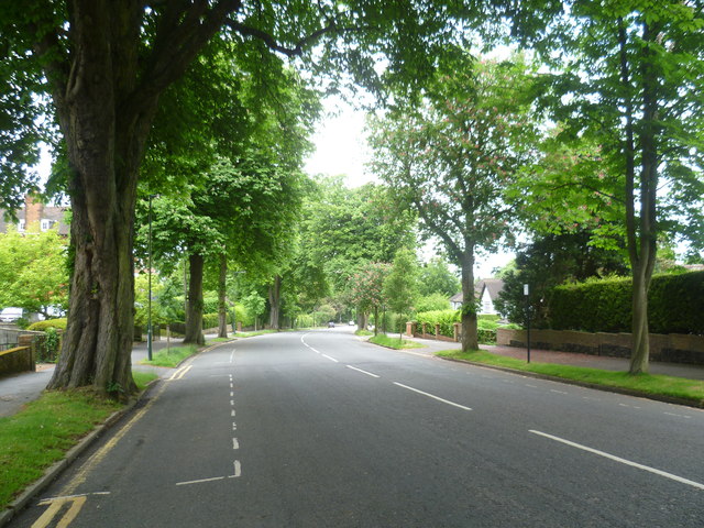
Image: © Marathon Taken: 15 Jun 2013
St Botolphs Road (B2020) leads down from Dartford Road, opposite The Vine Cricket Club Ground and by the war memorial to London Road near the station.
Images are licensed for reuse under creativecommons.org/licenses/by-sa/2.0
Image Location
Latitude
51.276267
Longitude
0.18957