High Wycombe: Bellfield Road railway bridge
Introduction
The photograph on this page of High Wycombe: Bellfield Road railway bridge by Nigel Cox as part of the Geograph project.
The Geograph project started in 2005 with the aim of publishing, organising and preserving representative images for every square kilometre of Great Britain, Ireland and the Isle of Man.

There are currently over 7.5m images from over 14,400 individuals and you can help contribute to the project by visiting https://www.geograph.org.uk
High Wycombe: Bellfield Road railway bridge
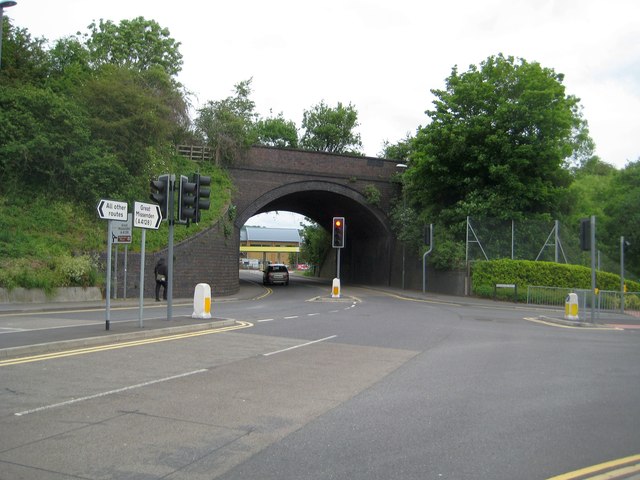
Image: © Nigel Cox Taken: 5 Jun 2012
A siding, now removed and running approximately parallel to the main railway lines, once ran to a large goods yard to the left of the bridge here, which accounts for the shape and size of the present-day bridge. A fairly new road called Premier Way leads off to the right.
Images are licensed for reuse under creativecommons.org/licenses/by-sa/2.0
Image Location
Latitude
51.633258
Longitude
-0.755206