East from Hernhill churchyard
Introduction
The photograph on this page of East from Hernhill churchyard by Penny Mayes as part of the Geograph project.
The Geograph project started in 2005 with the aim of publishing, organising and preserving representative images for every square kilometre of Great Britain, Ireland and the Isle of Man.

There are currently over 7.5m images from over 14,400 individuals and you can help contribute to the project by visiting https://www.geograph.org.uk
East from Hernhill churchyard
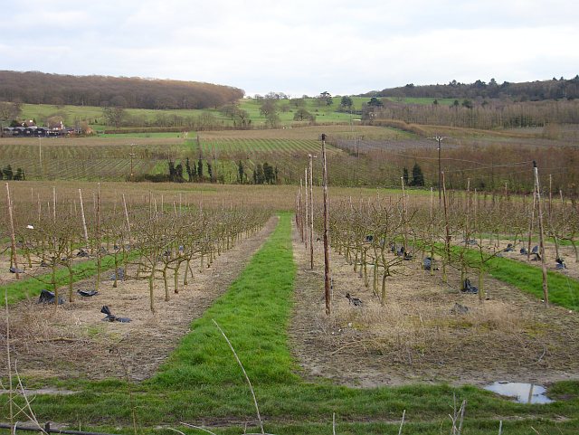
Image: © Penny Mayes Taken: 26 Feb 2007
Mostly orchards on the lower ground with pasture on the rise to The Blean which, along with Crockham Farm on the left, is in Image
Images are licensed for reuse under creativecommons.org/licenses/by-sa/2.0
Image Location
Latitude
51.306272
Longitude
0.966827