Former Stevenston Free Church
Introduction
The photograph on this page of Former Stevenston Free Church by Leslie Barrie as part of the Geograph project.
The Geograph project started in 2005 with the aim of publishing, organising and preserving representative images for every square kilometre of Great Britain, Ireland and the Isle of Man.

There are currently over 7.5m images from over 14,400 individuals and you can help contribute to the project by visiting https://www.geograph.org.uk
Former Stevenston Free Church
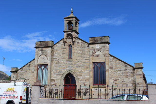
Image: © Leslie Barrie Taken: 21 Apr 2013
Built 1845, it later became known as the Woodside Hall following the construction of a larger replacement church (also still standing in New Street) now known as Livingstone Parish Church. The building pictured has now been converted for residential use.
Images are licensed for reuse under creativecommons.org/licenses/by-sa/2.0
Image Location
Latitude
55.638758
Longitude
-4.755395