Cycle Route 6 approaching the bridge under Kirklington Road (A617)
Introduction
The photograph on this page of Cycle Route 6 approaching the bridge under Kirklington Road (A617) by Tim Heaton as part of the Geograph project.
The Geograph project started in 2005 with the aim of publishing, organising and preserving representative images for every square kilometre of Great Britain, Ireland and the Isle of Man.

There are currently over 7.5m images from over 14,400 individuals and you can help contribute to the project by visiting https://www.geograph.org.uk
Cycle Route 6 approaching the bridge under Kirklington Road (A617)
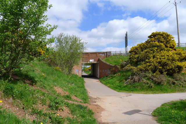
Image: © Tim Heaton Taken: 19 May 2013
Following the cutting of a former colliery railway line, whose banks are covered in gorse
Images are licensed for reuse under creativecommons.org/licenses/by-sa/2.0
Image Location
Latitude
53.11953
Longitude
-1.097023