Machine House, Maesygwartha Road
Introduction
The photograph on this page of Machine House, Maesygwartha Road by Jaggery as part of the Geograph project.
The Geograph project started in 2005 with the aim of publishing, organising and preserving representative images for every square kilometre of Great Britain, Ireland and the Isle of Man.

There are currently over 7.5m images from over 14,400 individuals and you can help contribute to the project by visiting https://www.geograph.org.uk
Machine House, Maesygwartha Road
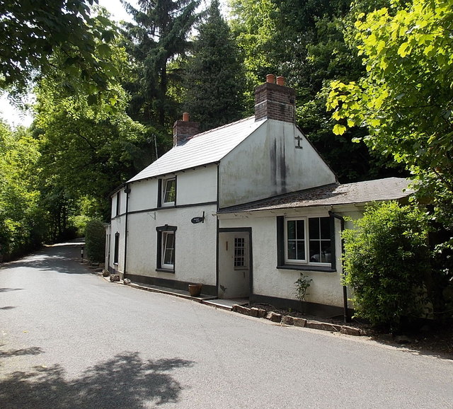
Image: © Jaggery Taken: 7 Jun 2013
Located between Maesygwartha and Gilwern. The road was formerly part of Clydach Railroad, a late 18th century tramroad which connected coal and iron ore mines, limestone quarries and ironworks at the head of the Clydach Gorge with the canal at Gilwern. Wagons descended by gravity (controlled with brakes) and were hauled back up by horses.
Images are licensed for reuse under creativecommons.org/licenses/by-sa/2.0
Image Location
Latitude
51.822787
Longitude
-3.101483