Buttercup field on the edge of Hadlow
Introduction
The photograph on this page of Buttercup field on the edge of Hadlow by Marathon as part of the Geograph project.
The Geograph project started in 2005 with the aim of publishing, organising and preserving representative images for every square kilometre of Great Britain, Ireland and the Isle of Man.

There are currently over 7.5m images from over 14,400 individuals and you can help contribute to the project by visiting https://www.geograph.org.uk
Buttercup field on the edge of Hadlow
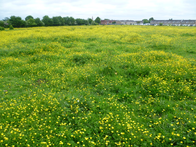
Image: © Marathon Taken: 9 Jun 2013
This colourful field can be seen from the footpath between Steers Place and Maidstone Road. The houses of Hadlow can be seen on the other side of the field.
Images are licensed for reuse under creativecommons.org/licenses/by-sa/2.0
Image Location
Latitude
51.230094
Longitude
0.335632