Redundant churn stand at Rhysgog Farm
Introduction
The photograph on this page of Redundant churn stand at Rhysgog Farm by John Haynes as part of the Geograph project.
The Geograph project started in 2005 with the aim of publishing, organising and preserving representative images for every square kilometre of Great Britain, Ireland and the Isle of Man.

There are currently over 7.5m images from over 14,400 individuals and you can help contribute to the project by visiting https://www.geograph.org.uk
Redundant churn stand at Rhysgog Farm
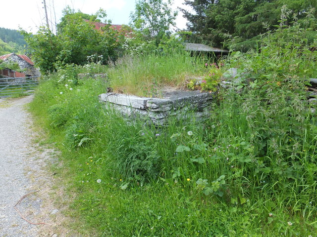
Image: © John Haynes Taken: 8 Jun 2013
The presence of a churn stand means that historically this overgrown and abandoned farm steading must have produced milk, which was common with most of the farms in this area.
Images are licensed for reuse under creativecommons.org/licenses/by-sa/2.0
Image Location
Latitude
52.98183
Longitude
-3.213558