Charlton Adam
Introduction
The photograph on this page of Charlton Adam by Nigel Mykura as part of the Geograph project.
The Geograph project started in 2005 with the aim of publishing, organising and preserving representative images for every square kilometre of Great Britain, Ireland and the Isle of Man.

There are currently over 7.5m images from over 14,400 individuals and you can help contribute to the project by visiting https://www.geograph.org.uk
Charlton Adam
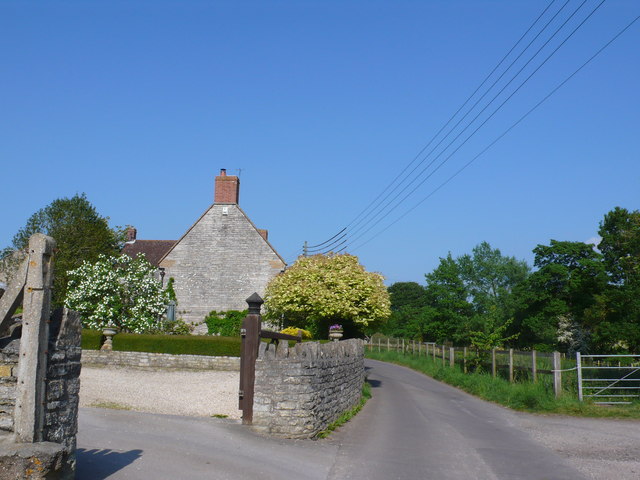
Image: © Nigel Mykura Taken: 6 Jun 2013
Charlton Adam is a rather shapeless small village that has merged with its near neighbour Charlton Mackrell. The Charlton part of their name comes from ceorl (churl) and charlton is the place where the ceorls lived. A ceorl was a freeman of the lowest rank in Anglo-Saxon England. The road is George St.
Images are licensed for reuse under creativecommons.org/licenses/by-sa/2.0
Image Location
Latitude
51.054478
Longitude
-2.666957