Mixed usage in Caulfield Place in Newry's Zone of Transition
Introduction
The photograph on this page of Mixed usage in Caulfield Place in Newry's Zone of Transition by Eric Jones as part of the Geograph project.
The Geograph project started in 2005 with the aim of publishing, organising and preserving representative images for every square kilometre of Great Britain, Ireland and the Isle of Man.

There are currently over 7.5m images from over 14,400 individuals and you can help contribute to the project by visiting https://www.geograph.org.uk
Mixed usage in Caulfield Place in Newry's Zone of Transition
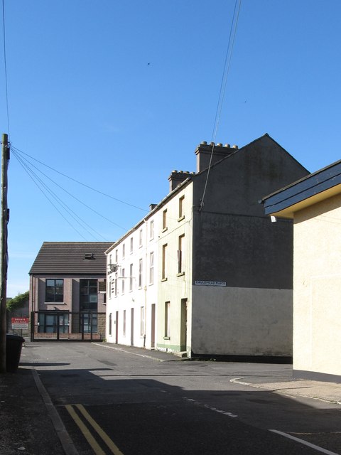
Image: © Eric Jones Taken: 7 Jun 2013
Some of the houses are inhabited, some are disused and boarded up. Others have been converted into office buildings. New buildings have also been added as part of the transition process.
Images are licensed for reuse under creativecommons.org/licenses/by-sa/2.0
Image Location
Latitude
54.178075
Longitude
-6.342732