View over fields
Introduction
The photograph on this page of View over fields by Alan Walker as part of the Geograph project.
The Geograph project started in 2005 with the aim of publishing, organising and preserving representative images for every square kilometre of Great Britain, Ireland and the Isle of Man.

There are currently over 7.5m images from over 14,400 individuals and you can help contribute to the project by visiting https://www.geograph.org.uk
View over fields
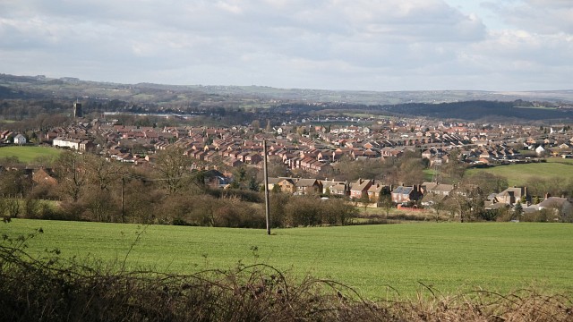
Image: © Alan Walker Taken: 26 Feb 2007
This view over fields was taken from Image, Lower Pilsley opposite its junction with Image and is looking in a north-westerly direction toward North Wingfield http://en.wikipedia.org/wiki/North_Wingfield . The church tower toward the left of the picture is that of Church of St Lawrence The row of houses in the middle distance (centre, right) are on Seanor Lane, Lower Pilsley.
Images are licensed for reuse under creativecommons.org/licenses/by-sa/2.0
Image Location
Latitude
53.171327
Longitude
-1.381673