Papplewick Moor from the B683
Introduction
The photograph on this page of Papplewick Moor from the B683 by Tom Courtney as part of the Geograph project.
The Geograph project started in 2005 with the aim of publishing, organising and preserving representative images for every square kilometre of Great Britain, Ireland and the Isle of Man.

There are currently over 7.5m images from over 14,400 individuals and you can help contribute to the project by visiting https://www.geograph.org.uk
Papplewick Moor from the B683
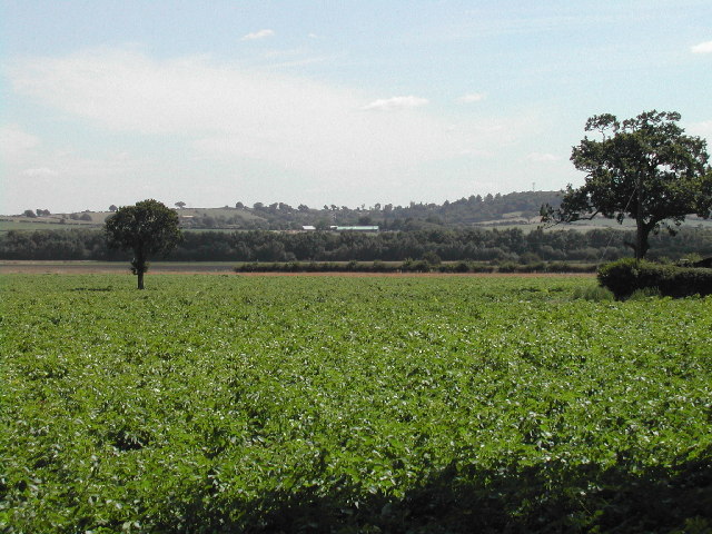
Image: © Tom Courtney Taken: 8 Aug 2005
The mast of the Police HQ at Sherwood Lodge in Burntstump Country Park can just be seen on the hill on the right
Images are licensed for reuse under creativecommons.org/licenses/by-sa/2.0
Image Location


Leaflet Map data © OpenStreetMap
Latitude
53.048993
Longitude
-1.188452