King Alfred's Mews, Wedmore
Introduction
The photograph on this page of King Alfred's Mews, Wedmore by Derek Harper as part of the Geograph project.
The Geograph project started in 2005 with the aim of publishing, organising and preserving representative images for every square kilometre of Great Britain, Ireland and the Isle of Man.

There are currently over 7.5m images from over 14,400 individuals and you can help contribute to the project by visiting https://www.geograph.org.uk
King Alfred's Mews, Wedmore
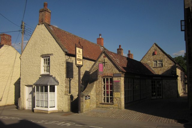
Image: © Derek Harper Taken: 3 Jun 2013
The entrance to Image from Church Street. There can't be many villages with two shopping arcades; see also Image On the left is Rosemary Cottage, with a former shopfront http://list.english-heritage.org.uk/resultsingle.aspx?uid=1262182&searchtype=mapsearch .
Images are licensed for reuse under creativecommons.org/licenses/by-sa/2.0
Image Location
Latitude
51.227664
Longitude
-2.809807