The road to High Crosby
Introduction
The photograph on this page of The road to High Crosby by David Purchase as part of the Geograph project.
The Geograph project started in 2005 with the aim of publishing, organising and preserving representative images for every square kilometre of Great Britain, Ireland and the Isle of Man.

There are currently over 7.5m images from over 14,400 individuals and you can help contribute to the project by visiting https://www.geograph.org.uk
The road to High Crosby
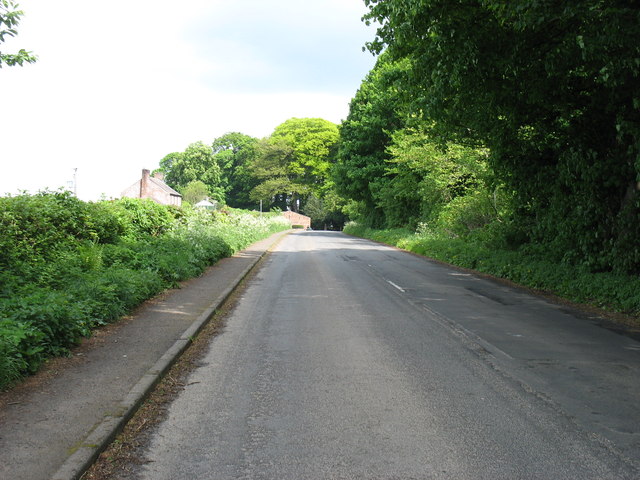
Image: © David Purchase Taken: 30 May 2013
High Crosby is only a matter of feet higher than Low Crosby, now the main part of Crosby-on-Eden. Before the by-pass was built, this was the A689. The Hadrian's Wall Path follows this road into Low Crosby (behind the camera).
Images are licensed for reuse under creativecommons.org/licenses/by-sa/2.0
Image Location
Latitude
54.929073
Longitude
-2.853089