Windsor Gardens
Introduction
The photograph on this page of Windsor Gardens by Richard Webb as part of the Geograph project.
The Geograph project started in 2005 with the aim of publishing, organising and preserving representative images for every square kilometre of Great Britain, Ireland and the Isle of Man.

There are currently over 7.5m images from over 14,400 individuals and you can help contribute to the project by visiting https://www.geograph.org.uk
Windsor Gardens
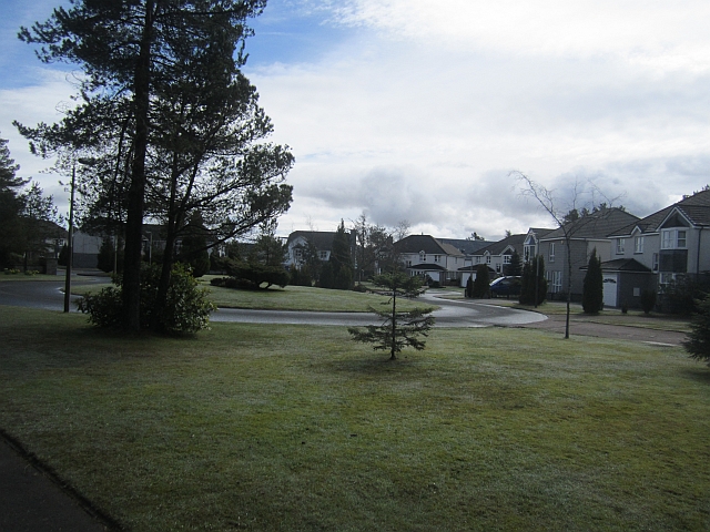
Image: © Richard Webb Taken: 24 Apr 2013
A housing development at Gleneagles, dating to 1994 and somewhat more modest (or normal) than Queen's Crescent over the fence. Many of the properties are flats.
Images are licensed for reuse under creativecommons.org/licenses/by-sa/2.0
Image Location
Latitude
56.281763
Longitude
-3.763304