Lower Marsh Lane
Introduction
The photograph on this page of Lower Marsh Lane by Marathon as part of the Geograph project.
The Geograph project started in 2005 with the aim of publishing, organising and preserving representative images for every square kilometre of Great Britain, Ireland and the Isle of Man.

There are currently over 7.5m images from over 14,400 individuals and you can help contribute to the project by visiting https://www.geograph.org.uk
Lower Marsh Lane
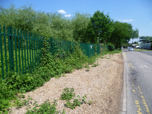
Image: © Marathon Taken: 5 Jun 2013
This is a rather nondescript road whose main interest is that it is followed here by the London LOOP on its way from Berrylands to Kingston. This view looks back to where Lower Marsh Lane passes through Hogsmill Valley Sewage Works on its way to Berrylands station.
Images are licensed for reuse under creativecommons.org/licenses/by-sa/2.0
Image Location
Latitude
51.401352
Longitude
-0.290978